Loading

In "Crossings," land use, public policy, and transparency are examined through the route of the Keystone Pipeline – as revealed by Google Street View, the automated documentarian of our nation's roadways.
This is a secret landscape, hidden from review by the Department of State and the project's developer – both of whom refuse to release the official pipeline route data corresponding to the project's environmental reports. While awaiting resolution of his eight-year FOIA request for the data (joined in 2017 by the Center for Biological Diversity), Bachand has utilized other public resources to create the only interactive public map of the pipeline. From this, we find a very public view.
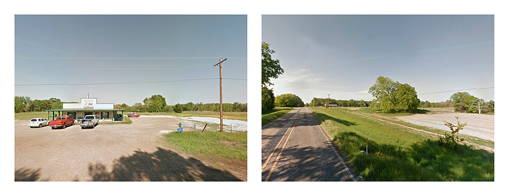
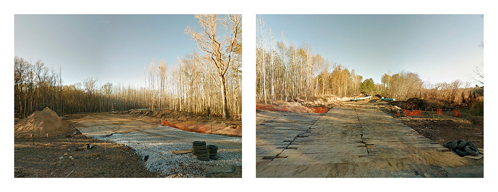
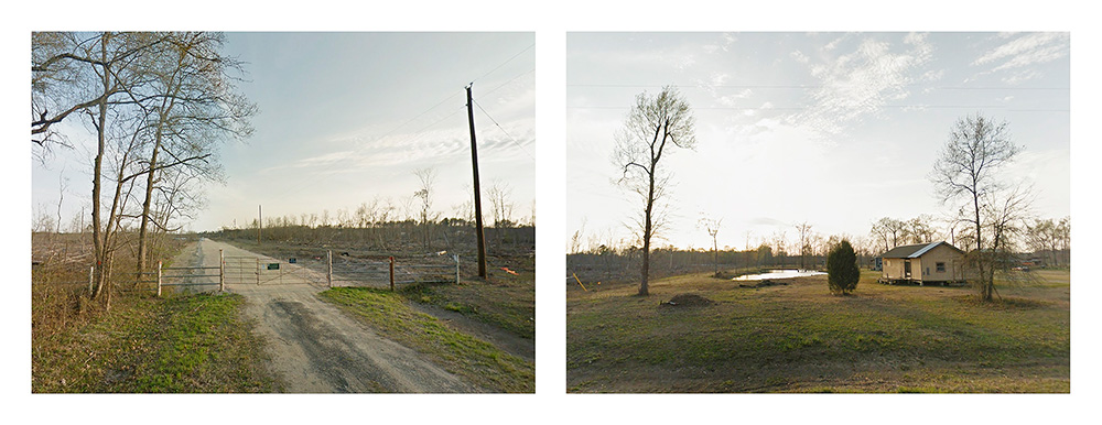
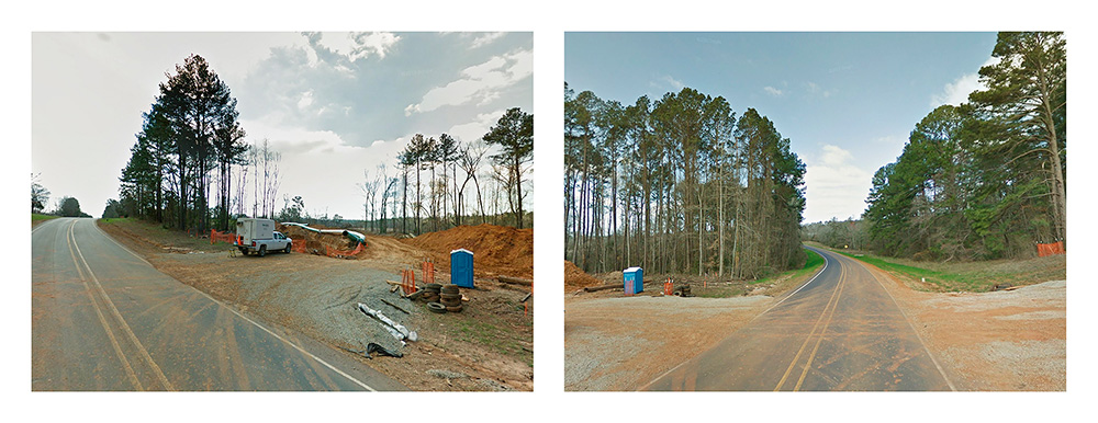
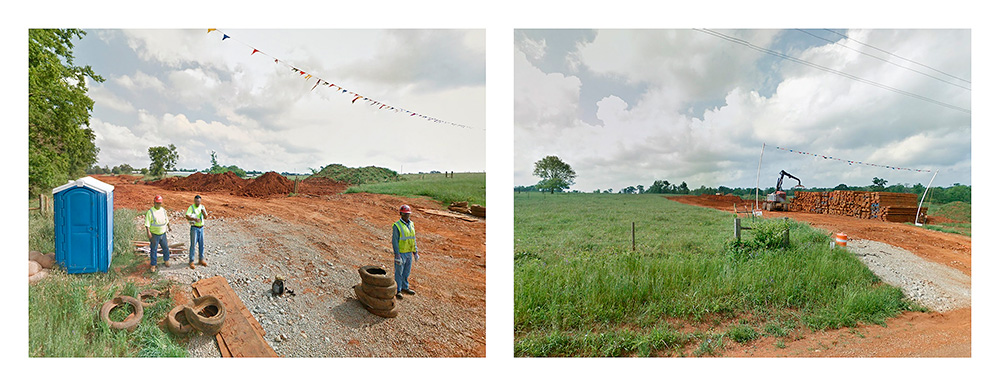
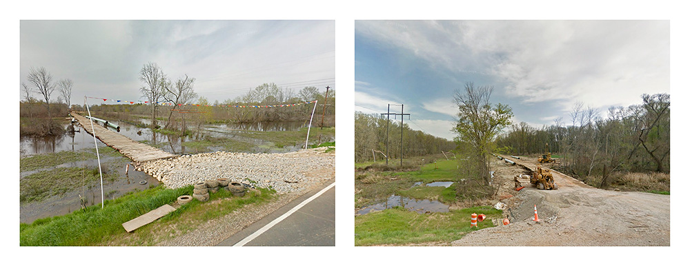
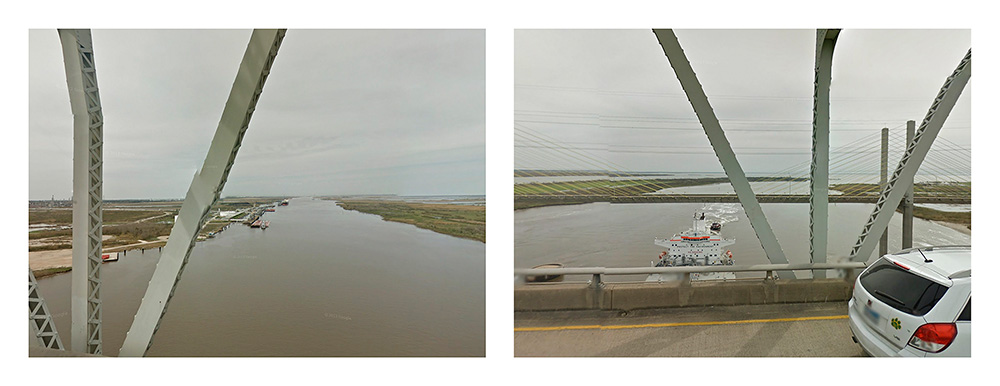
Through 180° diptychs composed of opposing camera views from each roadway intersection with the pipeline, ""Crossings"" finds the project in its enormity, hundreds of feet in breadth stretching horizon to horizon. Without rhetoric and hyperbole, we witness as passersby, the public access to the 2,000 mile project. Undeveloped stretches are recognized by petroleum pipeline markers on fences bordering forest or agricultural lands. An existing easement, repurposed or expanded, may appear as a dirt track vanishing into the brush. Construction zones are seen crossing woodland, wetland, and farm alike, in all stages of development, from timber and brush clearing, to bulldozing, trenching, and pipe welding. This is history, captured incidentally.
What are we to make of this hidden landscape, one intended to bisect the country? Terrorist target? Transportation corridor for extracted resources destined for world markets? Agrarian community? Endangered native prairie, scrub, marsh, and forest?
More fundamentally, now that the hidden landscape is revealed, what is it we see? What is the story told by the satellite and roving camera?